Generate Embed Using Controllers
Generate Embed Using Controllers
levate your embedded content with our customization options. Select colors that match your branding with our color palette feature, choose from various map styles, adjust zoom levels, display data within specific time intervals, animate changes over time with time-lapse, enable drag and search for interactive content exploration, and customize the display duration.
Our "generate instant embed code" feature offers a comprehensive and customizable solution for dynamic content embedding.


Switch between different bounds
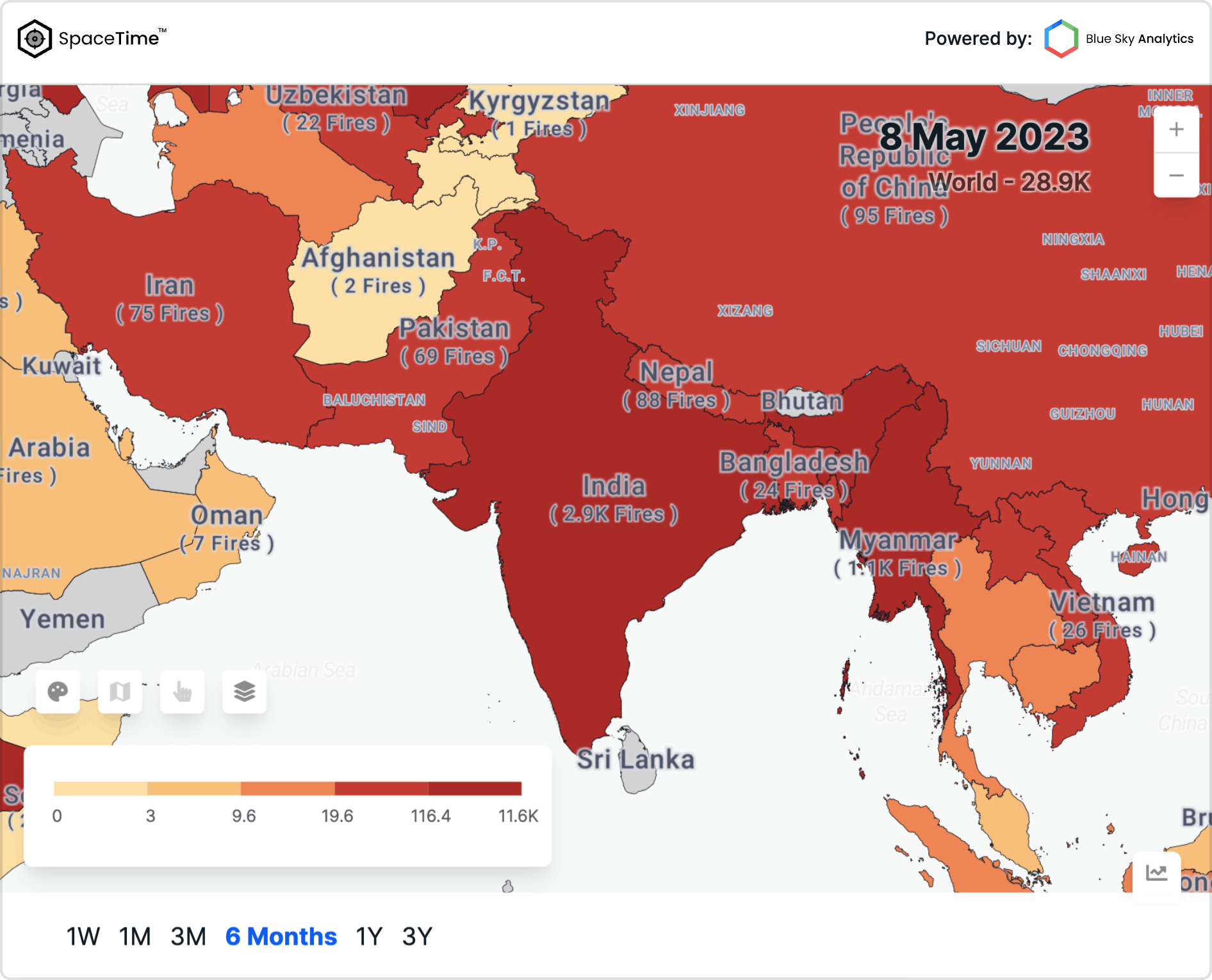
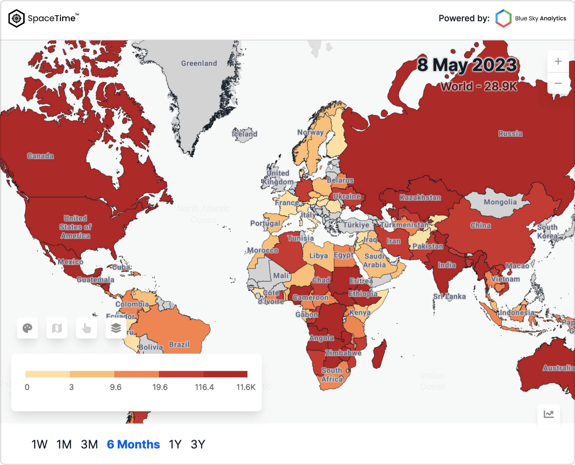
Visualize different bounding boxes on a map with ease, from a global perspective to national and asset-level boundaries.
Generate instant embed code
Spacetime provides a hassle-free solution for generating instant embed codes. With just a few simple steps, you can effortlessly obtain the embed code for any content you wish to integrate into your webpage. Simply input the desired range or URL, customize the settings if needed, and instantly generate the embed code that you can easily copy and paste into your webpage.


Embed Usage
To fully comprehend and make use of the vast amounts of climate data, we need a visualization platform that allows users to easily.

Enhance news articles, reports, or multimedia content by embedding interactive maps.

Capture your website visitor's attention with an interactive map on your homepage, showcasing relevant geo information.

Enrich your blog posts with interactive maps to provide additional context or highlight specific locations relevant to the content.


